Our flagship application, providing citizens and experts with the means to monitor the earth
A web-based solution for validating land cover and ecosystem maps
The new and improved GeoWiki 2.0 featuring active learning for developing AI image libraries
Connecting Communities & Cultivating Greenspaces
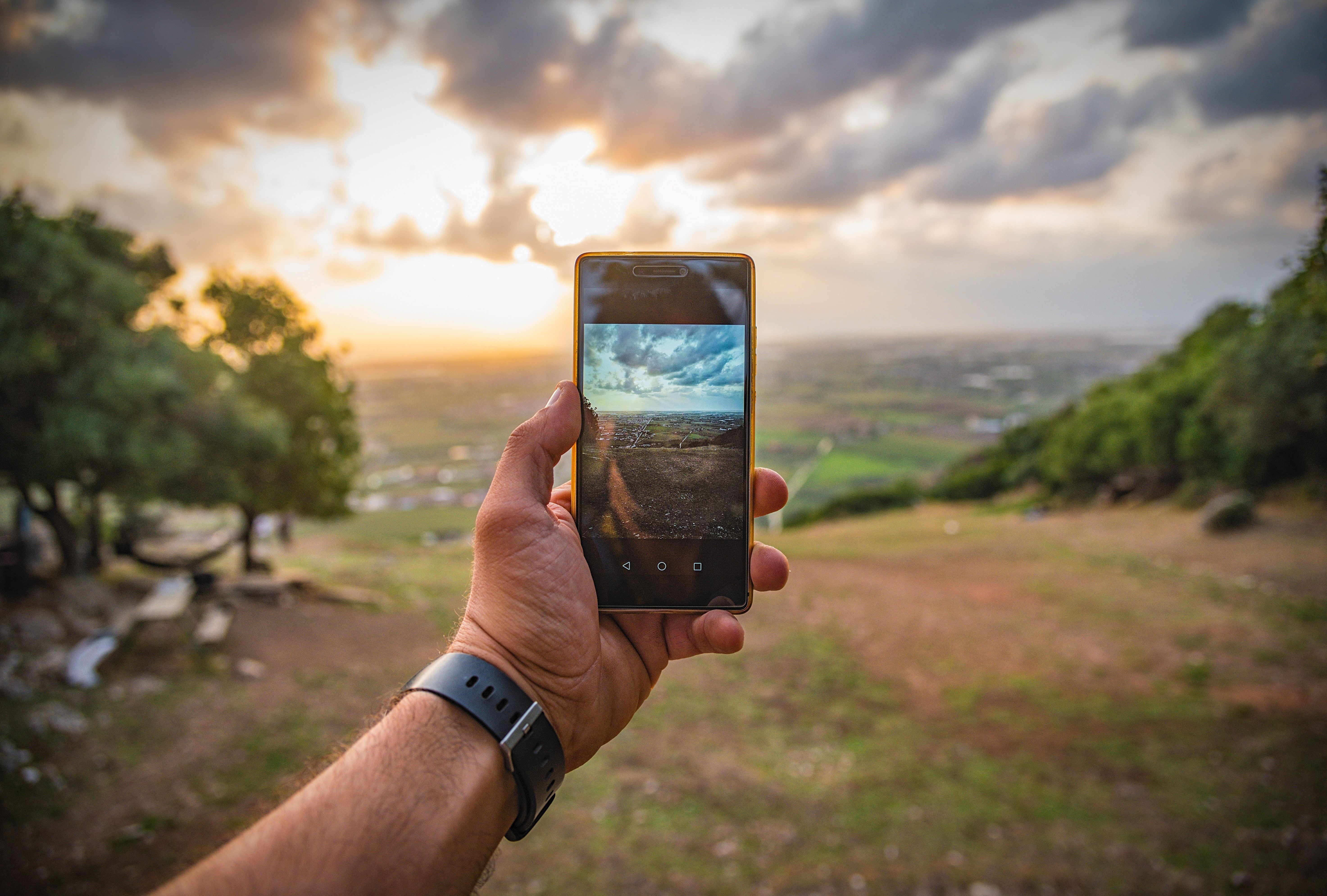
Our free and open citizen science tool for field data collection. Get involved, download the app!
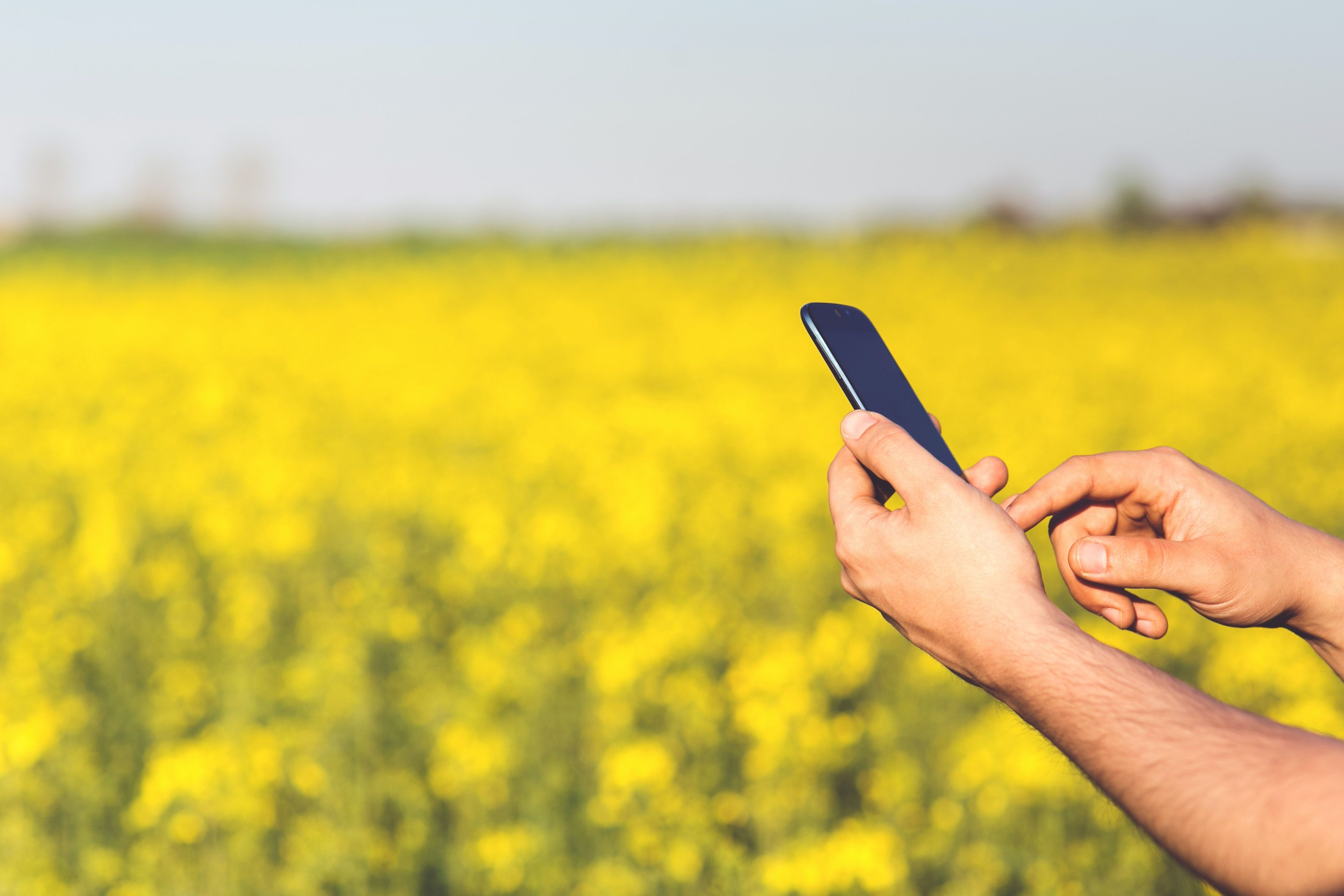
A mobile application designed to help farmers enhance their resilience to climate change
High quality reference data for both training classification algorithms and validation of the final products.
Resources for exploring thematic map accuracy (including underlying R code)
This desktop application provides global street-level imagery for rapid crop classification
A cross-platform application designed for rapid image classification for numerous machine learning needs
A mobile application to collect GNSS data on Android phones to improve weather forecasting models
High-accuracy ground data for satellite-derived biomass mapping
Help document access to potable and clean water
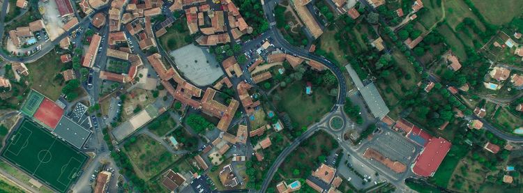
A mobile application to track European landscape changes, sending people to specific locations
A cross-platform application engaging the crowd to train AI models to detect tropical deforestation
A mobile application to gather crop species and management information in the field
A cross-platform application offering plant information tailored to specific locations across Europe
A dashboard for tracking twitter sentiment towards lifting Covid restrictions early in the pandemic
Developing an urban pluvial flood early warning service for, but also by citizens and city authorities
A mobile application to record the damage or loss of important sites crucial to the survival of bird populations