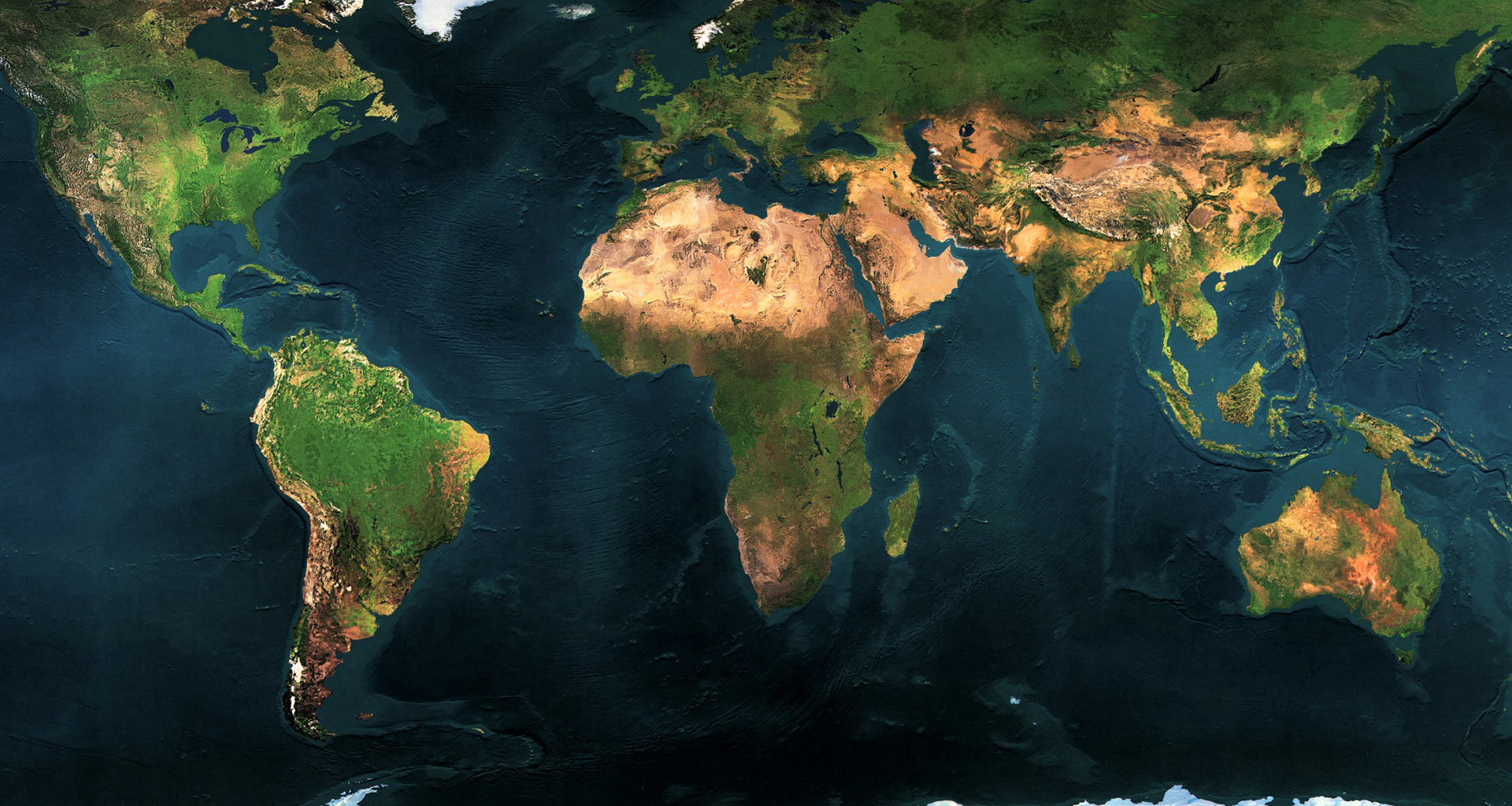
MethodMonitoring Land Use Change with Earth Observation
NODES has been involved in land cover and land use mapping for more than 15 years, contributing to the production of the C-GLOPS Copernicus global land service https://land.copernicus.eu/global/index.html, and more recently to ESA’s WorldCover https://esa-worldcover.org/en and WorldCereal Products https://esa-worldcereal.org/en . These products provide critical baseline data for a number of EU policies including the latest EUDR regulation on deforestation free commodities https://environment.ec.europa.eu/topics/forests/deforestation/regulation-deforestation-free-products_en or the EU Energy Directive.